from Saguenay to Øresund

23 August 2015
The North Atlantic Arc Home
| August | September | October |
| S | M | T | W | T | F | S |
| 18 | 19 | 20 | 21 | 22 | ||
| 23 | 24 | 25 | 26 | 27 | 28 | 29 |
| 30 | 31 | 1 | 2 | 3 | 4 | 5 |
| 3 | ||||||
| 4 | 5 | 6 | 7 | 8 | 9 | 10 |
| 11 | 12 | 13 | 14 | 15 | 16 | 17 |
| 18 | 19 | 20 | 21 |
 |
|
Sunday 23 August 2015--We're headed to Île-aux-Coudres today, a place
I've never been, but most of today's route is familiar. The old road out to Ste-
Anne-de-Beaupré weaves among the centuries-old farmhouses at the back of
the fields, just below the ridge of woodland; but the modern Route 138 cuts
straight across the seigneurial divisions to the great basilica and shrine to Saint
Anne, mother of Mary and patron of sailors. I've driven many busloads of
tourists, and a few of genuine pilgrims, to what is probably the most important
pilgrimage site in Québec. Today we drive right on by. Not far beyond, Route
360 turns inland toward the ski area at Mont Ste-Anne, another frequent bus
destination. We stay straight instead on 138, which ascends steeply from the
junction. It will be some miles before we are officially in the Charlevoix tourist
region, but by the time we pass by St-Tite-des-Caps, we have a feel for the
ancient landscape, rocky but forested, rugged but well-worn. The rock here,
part of the vast Canadian Shield, is some of the oldest on the earth's surface,
upwards of four billion years old. Starting about 1.3 billion years ago, it was
thrust upward in a tectonic process geologists call the Grenville orogeny, which
pushed up mountains from southern Mexico up through the eastern United
States, Québec, and Labrador. (Interestingly, mountains in far northwestern
Scotland were a part of this, long before the Atlantic Ocean spread open.)
Over a period of three hundred million years, ranges were formed that were
higher than any now on earth. A billion years of erosion have produced the land
we see today, which Marc and I will be looking at for the next week or so.
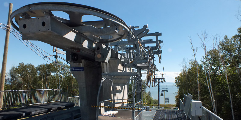
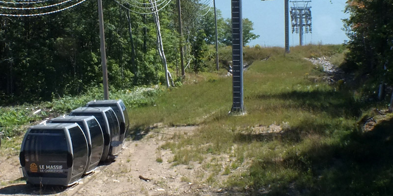
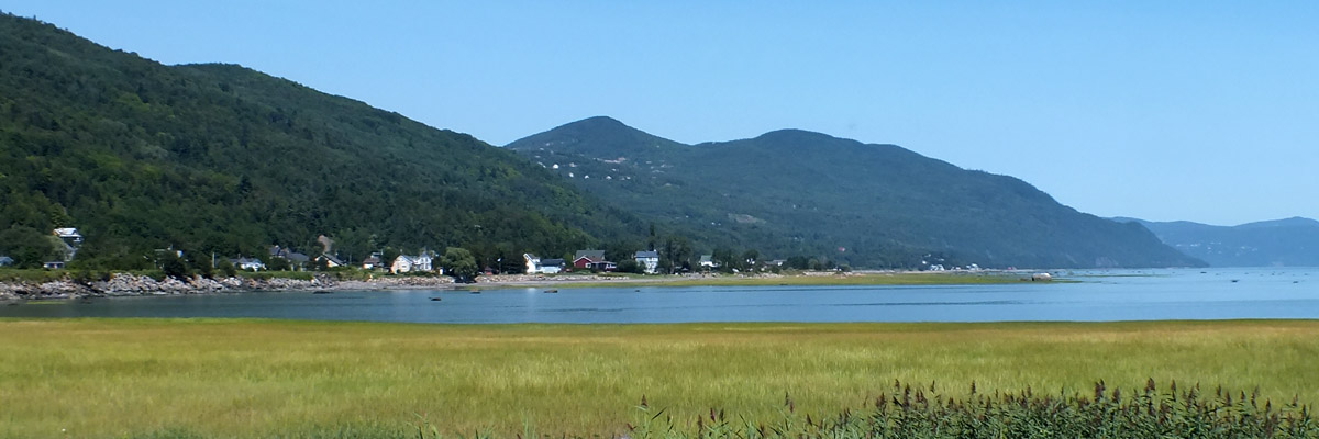
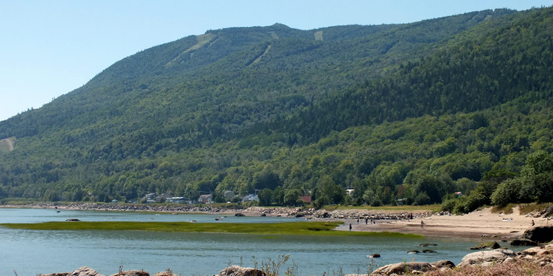
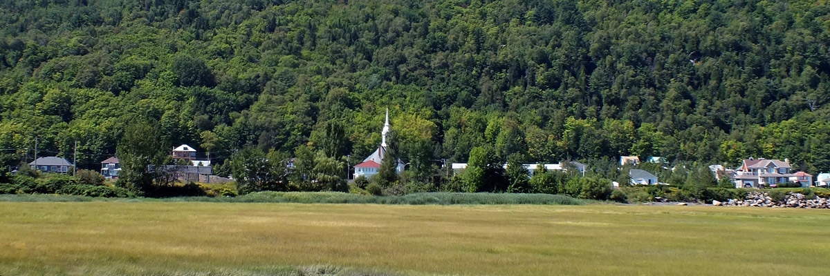
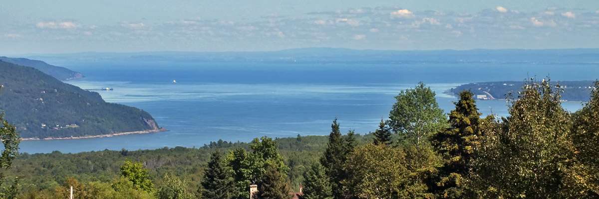
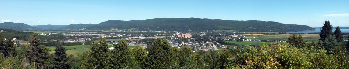
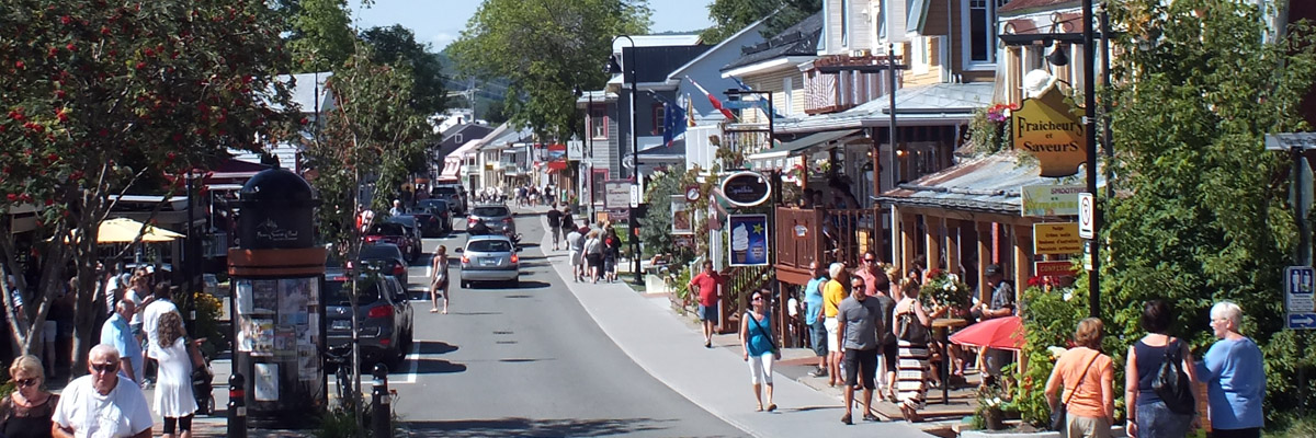
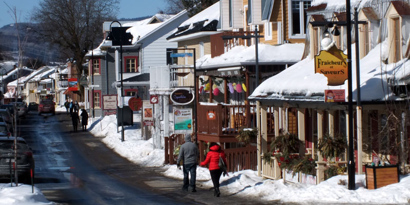
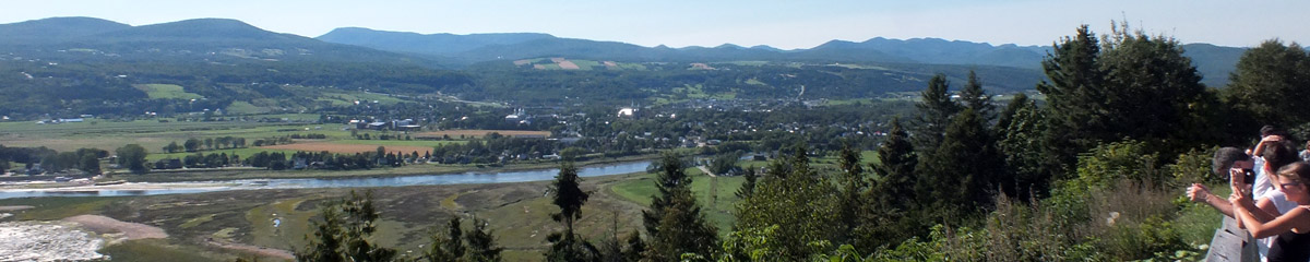
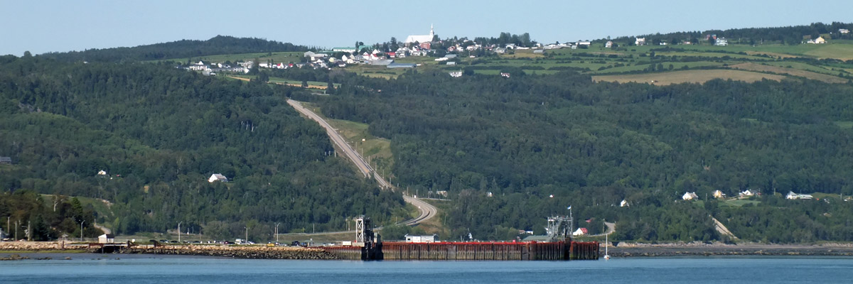
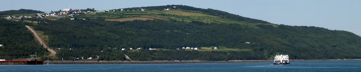
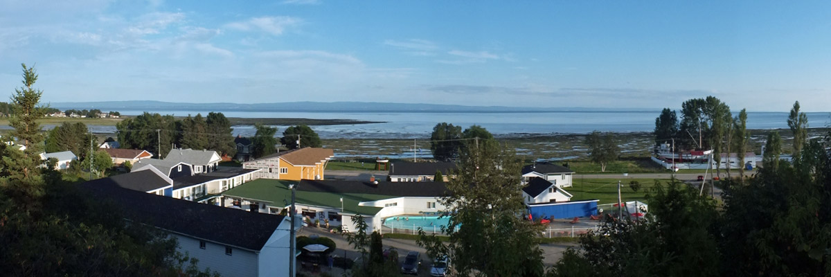
An hour or so out of Quebec City, we pass by the access road to Le Massif, a ski area I've been to many times. The road is five unpaved miles to the top of the piste, which runs down almost to the river. It's a funny thing to arrive at the top of a ski mountain. A few miles farther on, a road leads down to the village of Petite- Rivière-St-François, at the foot of the mountain. In the early days of Le Massif, this was the only access, and it was a hairy road to drive in a bus, with a 17% grade and a hairpin turn partway down. I remember thinking that I would never get back out again, and would have to convert my bus into a casse-croûte and spend the rest of my life in the village. We descend now, and find the road much improved, wider and straighter and less steep. We poke around the village and the lower parts of the ski area, noting the little train station from which arriving skiers can board a lift directly. There has been a lot of talk about developing a ski village here, and instituting regular rail service from Quebec City. The principals involved are the originators of the Cirque du Soleil, who started out busking in nearby Baie-St-Paul. There is a long way to go, starting with upgrade to the tracks. Trial of a deluxe ski train a couple of years ago, with gourmet breakfast and dinner en route, was not as successful as hoped. We drive back up to the highway, and then along to Baie-St-Paul. The town sits on flat, fertile land through which meanders the Rivière du Gouffre. Looking down from a lookout on the way in, one has a hard time picturing the little river cutting this broad, steep-sided valley from the rugged granite of Charlevoix. Down in town, we take a stroll along the picturesque main street, peering into the shops and galleries, before having lunch at Le St-Pub, the local brewpub. I sometimes have lunch at Café des Artistes, a few doors down, while my skiers are up at Le Massif. The village is very quiet in winter, in contrast to the crowded street scene on an August Sunday. Founded as a lumber camp in the mid-17th century, Baie-St-Paul today thrives on tourism and culture, particularly art. Paintings in the Charlevoix style, usually featuring traditional Québecois houses or villages perched on the rugged local landscape, are familiar to anyone who has browsed the galleries here and in Quebec City. The coast road leaving town ascends the other side of the valley, giving us another lookout. A few miles on, a side road drops sharply to St-Joseph-de-la- Rive, the ferry terminal for Île-aux-Coudres. Back around the time I was fretting my way down the road to Petite-Rivière-St-François, a busload of seniors went off the road here, 44 of 48 aboard killed. Lax maintenance of brakes and an inexperienced driver were blamed. This road, too, has been greatly improved. Interestingly, there is no charge for the ferry--the Québec government considers it an essential part of the road network, and pays the tab. (Not so with the Sorel--St-Ignace ferry.) From the water, there is a lovely view of the village of Les Éboulements, high on the hillside. The slope of the land makes you feel as though you are looking down on the village, even though you are far below it. I've seen this peculiar perspective in Charlevoix paintings, and had thought it showed a lack of mastery on the artist's part; now I get it. The height of land on which Les Éboulements sits is now believed to be the central uplift of the Charlevoix Crater, the result of a meteorite impact about 350 million years ago. The greatly-eroded bowl of the crater forms a ring of about seventeen miles radius, the inland part of which supports ninety per cent of Charlevoix's population in its relatively gentle landscape. We check into our motel, on the south side of the island, and go for dinner at Hôtel Cap-aux-Pierres, one of two large hotels on the island. The dining room is very quiet. The hotel bar is not interesting, and there is no real pub on the island, so we retire to the motel and sit outside a while, chatting with a couple who are doing the same. Good thing we have a cooler full of goodies. Next |
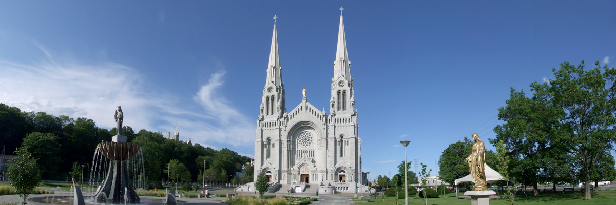 |
Basilica, Ste-Anne-de-Beaupré (July 2011)
 |
Basilica, Ste-Anne-de-Beaupré (July 2011)
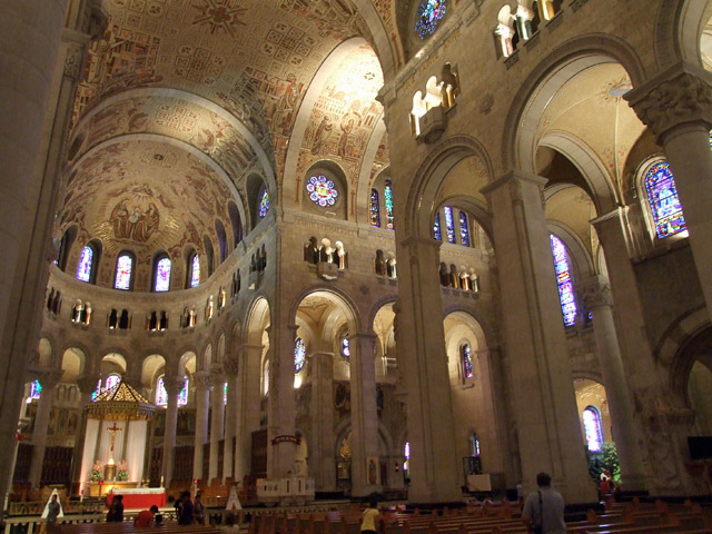 |
Basilica, Ste-Anne-de-Beaupré (July 2011)
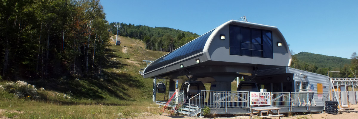 |
Le Massif
 |
Le Massif
 |
Le Massif
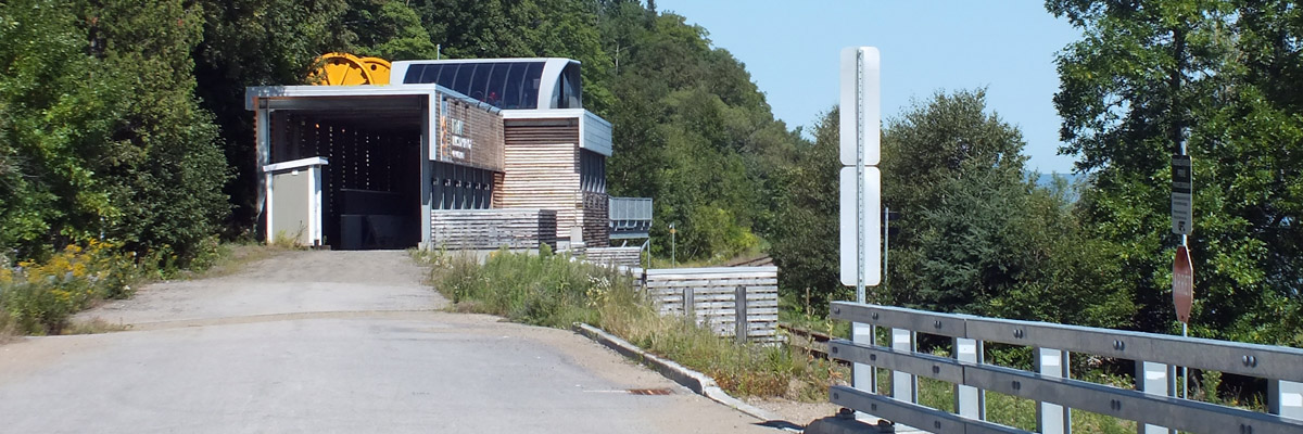 |
Train Station
 |
Petite-Rivière-Saint-François
 |
Petite-Rivière-Saint-François
 |
Petite-Rivière-Saint-François
 |
Telephoto Lens Check
 |
Baie-Saint-Paul, Île-aux-Coudres
 |
Baie-Saint-Paul
 |
Baie-Saint-Paul
 |
Baie-Saint-Paul (February 2015)
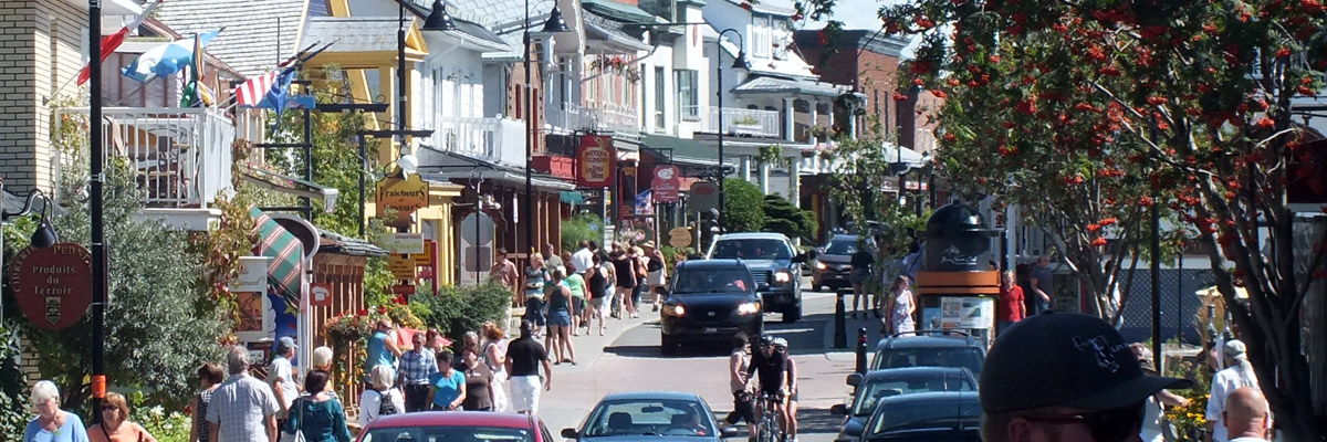 |
Baie-Saint-Paul
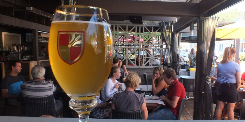 |
Le St-Pub
 |
Baie-Saint-Paul
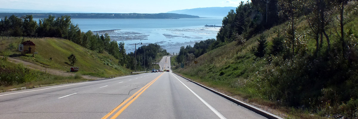 |
Approaching St-Joseph-de-la-Rive
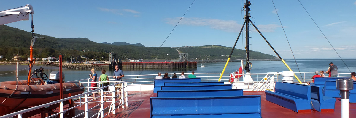 |
On The Ferry
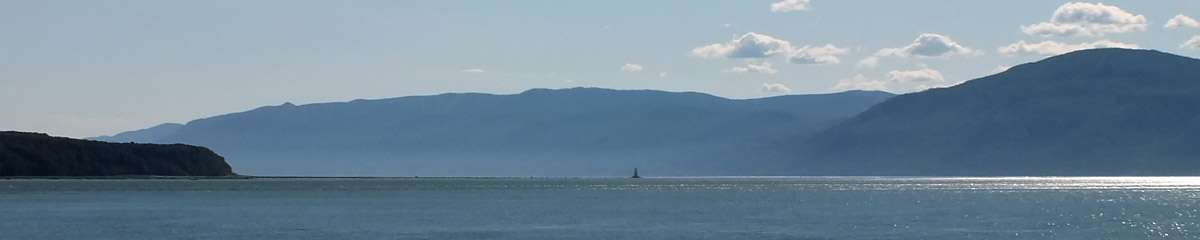 |
On The St Lawrence
 |
Les Éboulements
 |
Opposite Number
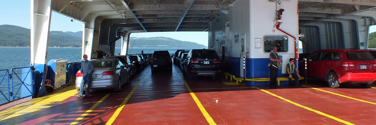 |
Car Deck
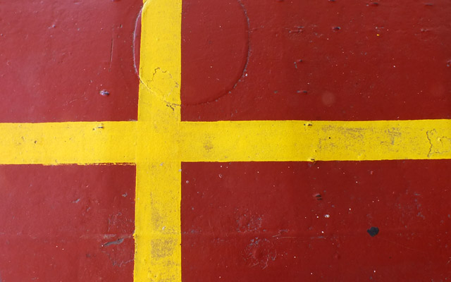 |
Flag Of Skåne
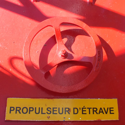 |
Propulseur D'Étrave
 |
Isle-aux-Coudres
Next
| August | September | October |
| S | M | T | W | T | F | S |
| 18 | 19 | 20 | 21 | 22 | ||
| 23 | 24 | 25 | 26 | 27 | 28 | 29 |
| 30 | 31 | 1 | 2 | 3 | 4 | 5 |
| 3 | ||||||
| 4 | 5 | 6 | 7 | 8 | 9 | 10 |
| 11 | 12 | 13 | 14 | 15 | 16 | 17 |
| 18 | 19 | 20 | 21 |
The North Atlantic Arc Home
Mr Tattie Heids Mileage
Results may vary